Travel Guide of Livigno Alps in Italy by Influencers and Travelers
The Livigno Alps are a mountain range in the Alps of eastern Switzerland and northern Italy, around the Italian village Livigno. They are considered to be part of the Central Eastern Alps.
Download the Travel Map of Italy on Google Maps here
Pictures and Stories of Livigno Alps from Influencers
Picture from antonella brugnola who have traveled to Livigno Alps
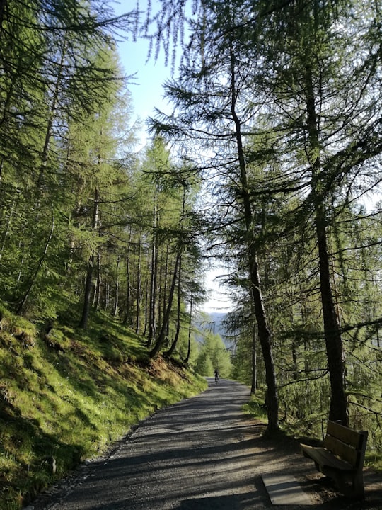
- I was there for a ride and I was ipnotized by the nature. Enjoy! ...click to read more
- Experienced by @antonella brugnola | ©Unsplash
Plan your trip in Livigno Alps with AI 🤖 🗺
Roadtrips.ai is a AI powered trip planner that you can use to generate a customized trip itinerary for any destination in Italy in just one clickJust write your activities preferences, budget and number of days travelling and our artificial intelligence will do the rest for you
👉 Use the AI Trip Planner
The Best Things to Do and Visit around Livigno Alps
Disover the best Instagram Spots around Livigno Alps here
1 - Unnamed Road
Learn more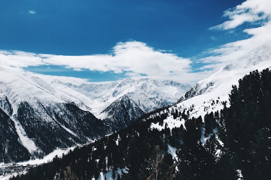
2 - SS301
Learn more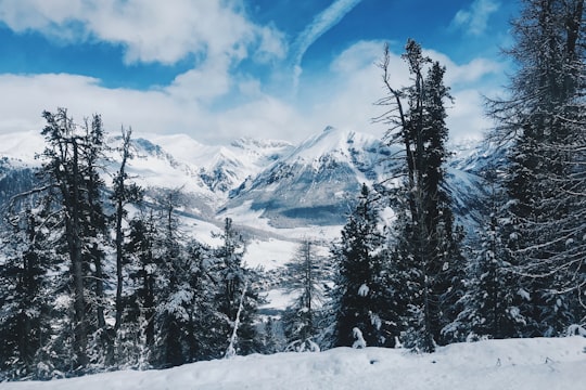
3 - Rafting in St Moritz
14 km away
As the name Engadin (in Rhaeto-Romance: Valley of the Inn) points out, this valley is home to the beautiful Inn river, which provides some of the best rafting in the Alps. Rafting and kayak enthusiasts from all over the world visit Graubünden to...
Learn more
4 - Livigno
6 km away
Livigno is a town, comune and a special-administered territory in the province of Sondrio, in the region of Lombardy, Italy, located in the Italian Alps, near the Swiss border.
Learn more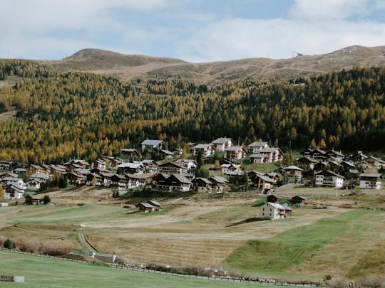
5 - Bernina Express
13 km away
The Bernina Express is a train connecting Chur in Switzerland to Poschiavo in Switzerland and Tirano in Italy by crossing the Swiss Engadin Alps.
View on Google Maps Book this experience
6 - Sightseeing | Pontresina
14 km away
Explore the breathtaking Bernina landscape on a guided train tour from Milan. Enjoy panoramic vistas of snow-covered peaks, clear lakes, and green valleys, and explore the town of St. Moritz in Switzerland.
Learn more
7 - Valdidentro
15 km away
Valdidentro is a comune in the Province of Sondrio in the Italian region Lombardy, located about 140 kilometres northeast of Milan and about 50 kilometres northeast of Sondrio, in the upper Alta Valtellina on the border with Switzerland.
Learn more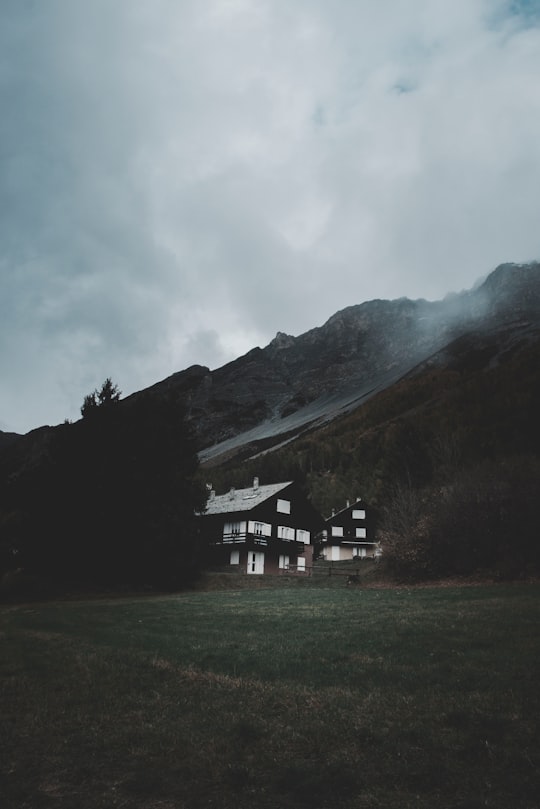
8 - Swiss National Park
18 km away
The Swiss National Park is located in the Western Rhaetian Alps, in eastern Switzerland. It is within the canton of Graubünden, between Zernez, S-chanf, Scuol, and the Fuorn Pass in the Engadin valley on the border with Italy.
Learn more Book this experience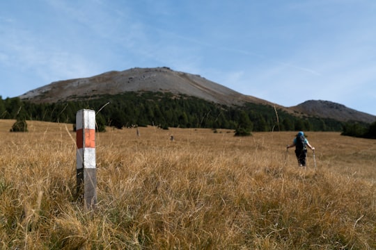

9 - Via Nazionale
18 km away
Via Nazionale is a street in Rome from Piazza della Repubblica leading towards Piazza Venezia. Already begun as via Pia, named in honour of Pius IX, who had wanted to connect Stazione Termini to the city-centre, the street was completed at the end of the 19th century through the ambition of several figures of the Risorgimento to create a "new Rome" as a capital of the unified Kingdom of Italy.
Learn more Book this experience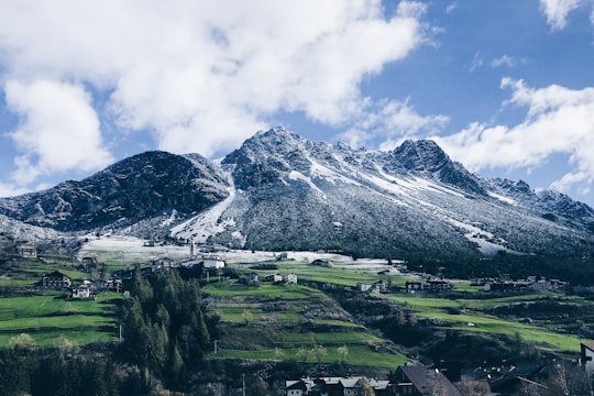
10 - Rifugio Marinelli Bombardieri Al Bernina
22 km away
Refuge Marinelli Bombardieri is a refuge in the Alps.
Learn more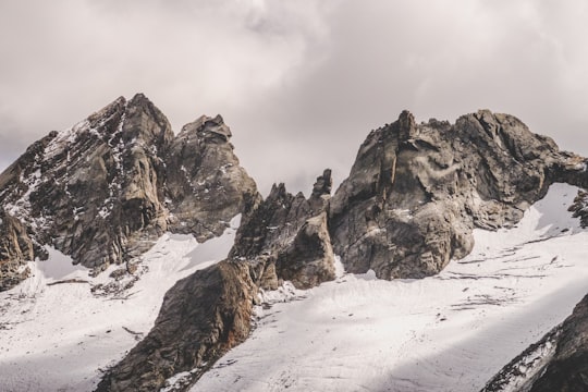
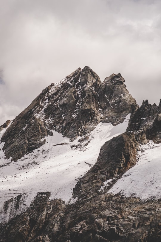
11 - Piz Corvatsch
25 km away
Piz Corvatsch is a mountain in the Bernina Range of the Alps, overlooking Lake Sils and Lake Silvaplana in the Engadin region of the canton of Graubünden.
Learn more Book this experience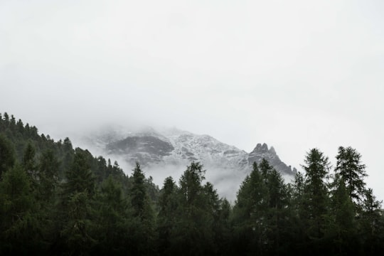

12 - Glacier Express
27 km away
The Glacier Express is an "express" train connecting railway stations of the two major mountain resorts of Zermatt and St. Moritz via Andermatt in the central Swiss Alps.
View on Google Maps Book this experience
13 - Flüela Pass
28 km away
Flüela Pass is a high mountain pass in the Swiss Alps in the canton of Graubünden. The road connects Davos and Susch in the lower Engadin valley. Since the Vereina Tunnel opened in 1999, the road is no longer guaranteed to be open all year. An NGO, Pro Flüela Verein, was established in 1990 to extend the opening outside the summer months. It raises money from membership fees, and grants from the cantonal government and local communes
Learn more Book this experience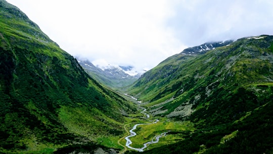

14 - Santa Caterina di Valfurva
33 km away
Santa Caterina di Valfurva is a frazione of the comune of Valfurva, in the northern Italian province of Sondrio. It is home to a popular ski resort, which has held numerous FIS World Cup alpine races; Santa Caterina co-hosted the World Championships with Bormio in 1985 and 2005.
Learn more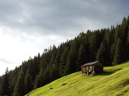
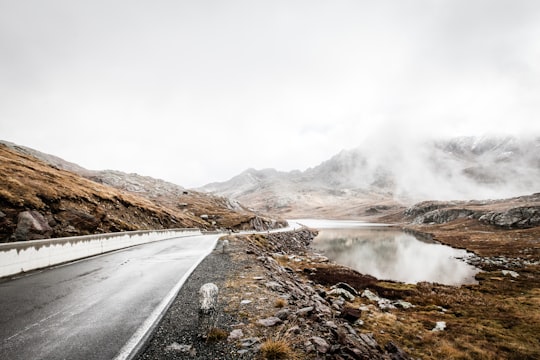
15 - Gavia Pass
36 km away
Gavia Pass is a high mountain pass in the Italian Alps. It is the tenth highest paved road in the Alps. The pass lies in the Lombardy region and divides the province of Sondrio to the north and the province of Brescia to the south.
Learn more Book this experience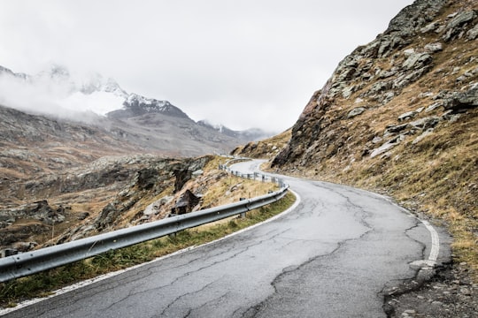
16 - Ortler
36 km away
Ortler is, at 3,905 m above sea level, the highest mountain in the Eastern Alps outside the Bernina Range. It is the main peak of the Ortler Range.
Learn more Book this experience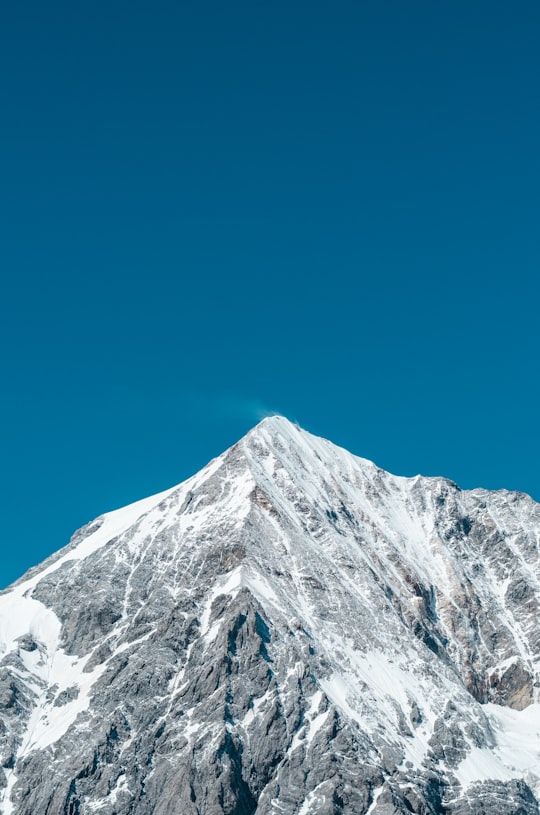
17 - Stelvio
37 km away
The Stelvio Pass is a mountain pass in northern Italy bordering Switzerland at an elevation of 2,757 m above sea level. It is the highest paved mountain pass in the Eastern Alps, and the second highest in the Alps, 7 m below France's Col de l'Iseran.
Learn more Book this experience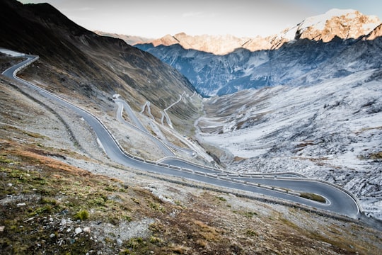
18 - Solda
37 km away
Sulden is a mountain village in South Tyrol, northern Italy. It is a frazione of the comune of Stilfs.
Learn more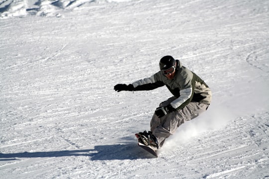
19 - Stelvio National Park
38 km away
Stelvio National Park is a national park in the north-east of Italy, founded in 1935. The park is the largest in Italy and covers part of two regions: Trentino-Alto Adige/Südtirol and Lombardia, in 24 municipalities.
Learn more Book this experience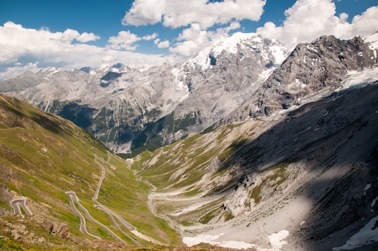
20 - Gran Zebrù
41 km away
The Königspitze is a mountain of the Ortler Alps on the border between South Tyrol and the Province of Sondrio, Italy. After the Ortler, it is the second highest peak in the Ortler Alps, at a height of 3,851m.
Learn more Book this experience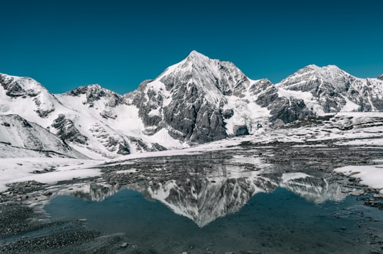
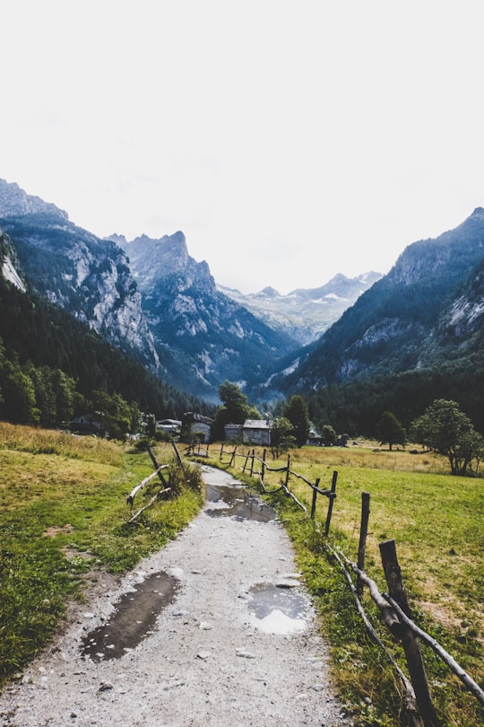
21 - Val di Mello
43 km away
Learn more Book this experience
22 - Val Masino
44 km away
Val Masino is a comune in the Province of Sondrio in the Italian region Lombardy, located about 90 kilometres northeast of Milan and about 20 kilometres northwest of Sondrio, on the border with Switzerland.
Learn more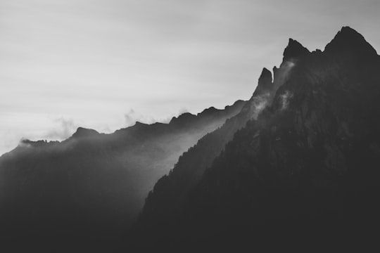
Book Tours and Activities in Livigno Alps
Discover the best tours and activities around Livigno Alps, Italy and book your travel experience today with our booking partners
Where to Stay near Livigno Alps
Discover the best hotels around Livigno Alps, Italy and book your stay today with our booking partner booking.com
More Travel spots to explore around Livigno Alps
Click on the pictures to learn more about the places and to get directions
Discover more travel spots to explore around Livigno Alps
🌲 Forest spotsTravel map of Livigno Alps
Explore popular touristic places around Livigno Alps
Download On Google Maps 🗺️📲